Marice 200
Matrice 200 Features
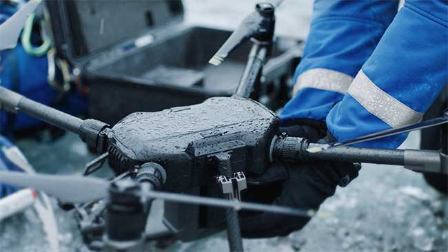
The M200 Series’ folding body is easy to carry and to set up, with a specially designed travelling case that can carry all necessary parts you need to finish each mission. With a weather- and water-resistant body, rated at IP43, this platform is ideal for field operations. The dual batteries, using either TB50 or TB55 batteries, can reach a maximum flight time of 38 minutes (TB55, no payload).
Paragraph. Cliquer ici pour modifier.
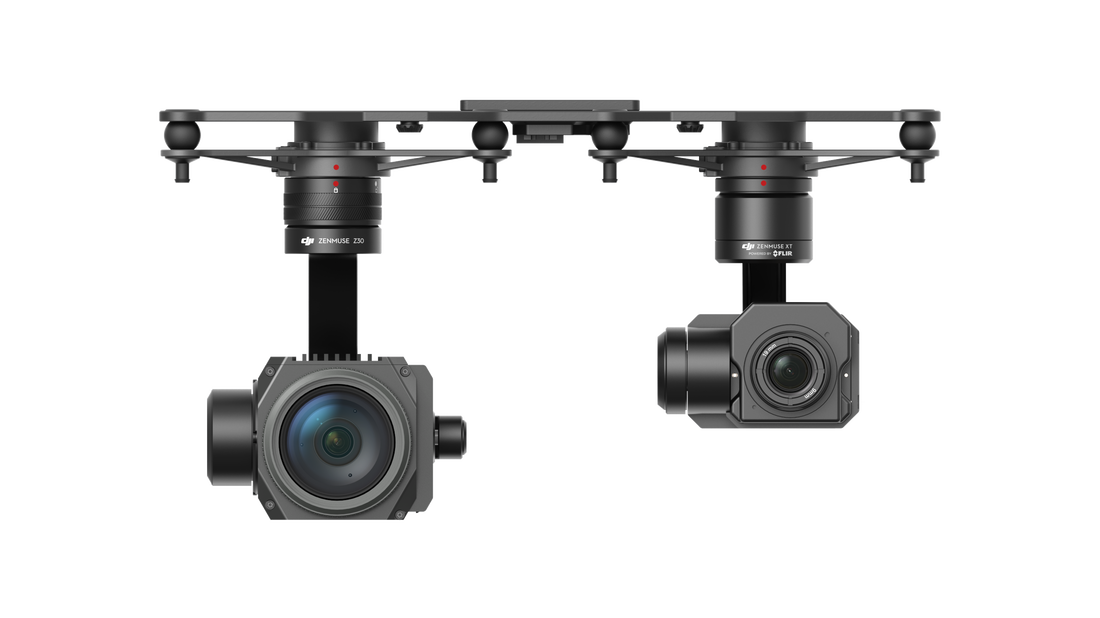
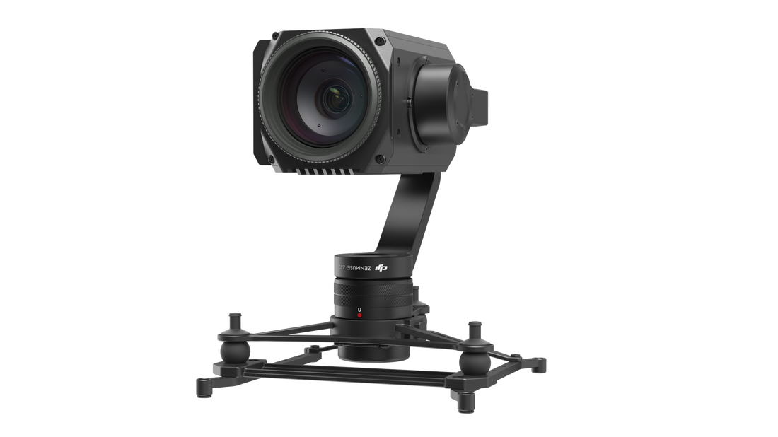
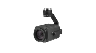
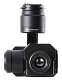
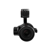
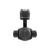
The drone is compatible with 4 payloads: X4S, X5S, XT, Z30 (need a special adaptor to mount XT on M200).
The M200 drone is the first DJI drone with the DJI AirSense system, enhancing airspace safety. The DJI AirSense system includes a built-in ADS-B receiver which provides the operator with real-time information about nearby manned aircraft equipped with ADS-B transmitters. AirSense enables safer and more efficient use of airspace, particularly in locations where other manned aircraft may be operating.
Always Ready
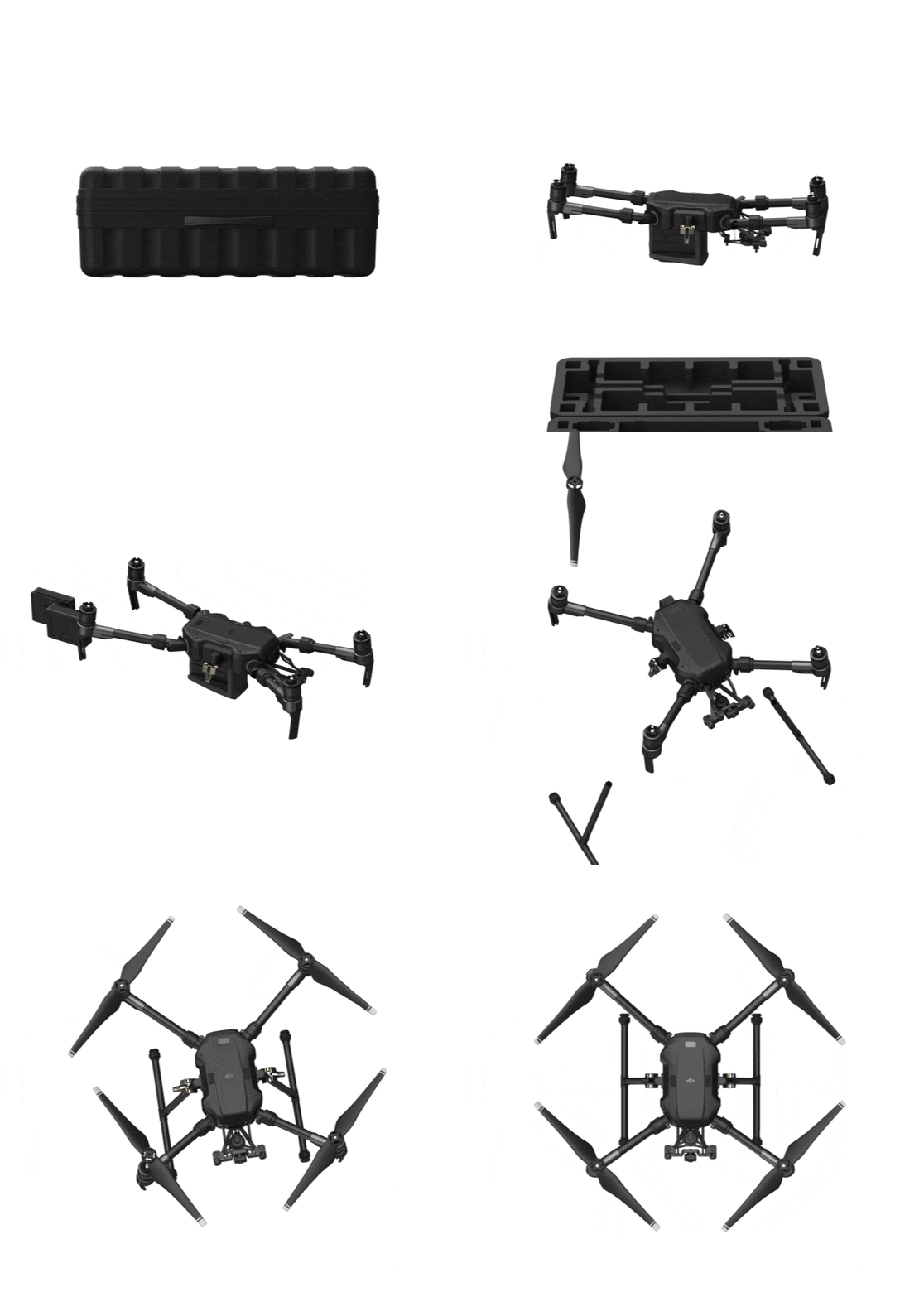
The M200 Series drones fold down in a snap and unfold just as quickly. Gimbal mounting plates and aircraft arms stay mounted during transportation so that you’re ready to fly within minutes.
Always Ready
The M200 Series drones fold down in a snap and unfold just as quickly. Gimbal mounting plates and aircraft arms stay mounted during transportation so that you’re ready to fly within minutes.
Intelligent Flight Features
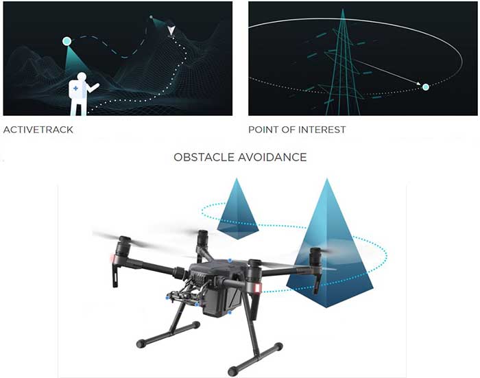
The M200 Series drones utilize computer vision for intelligent flight modes to help more efficiently collect data. These features are available for multiple DJI sensors, enabling advanced shots such as zooming while tracking an object:
The M200 Series drones utilize computer vision for intelligent flight modes to help more efficiently collect data. These features are available for multiple DJI sensors, enabling advanced shots such as zooming while tracking an object:
- Spotlight – to lock the camera onto a subject during flight while the aircraft moves freely
- Point of Interest – to circle around an object for a smooth orbit
- Tripod – to fine-tune position and angle for position framing and safe navigation in narrow environments
- ActiveTrack – to follow a person or object while keeping it in frame
These modes are enabled by two front visual sensors, a ultrasonic and visual downward positioning system and an upper infrared sensor.
Compatible Apps and Software
DJI GO 4 mobile app can be used to control and customize the Matrice 200 Series. iPad users can also plan flights through DJI’s GS Pro app. In addition to that, the M200 Series supports the brand new DJI Pilot Android app, which is specifically designed for enterprise users, optimizing user experience and flight performance. The DJI Pilot app will be available once the M200 Series has begun shipment.
DJI Pilot & DJI FlightHub
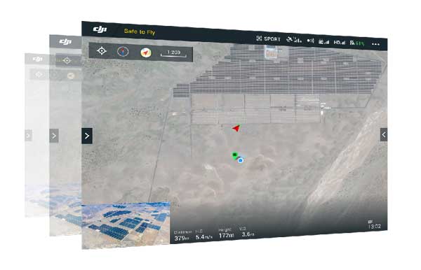
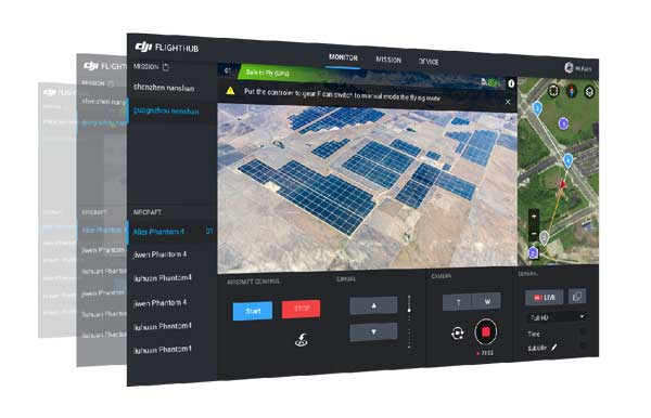
The DJI Pilot app is compatible with DJI FlightHubTM, a web-based software package allowing teams to share real-time data with offsite parties over the Internet. This includes remote emergency situation control rooms keeping track of first response teams or asset management centers inspecting global infrastructure networks. In an easy-to-use control center, DJI FlightHub lets users plan flights with multiple drones and keep track of each aircraft’s status. An offsite control room can simultaneously monitor live feeds and can remotely control gimbal and camera. The software enables managers to plan flights in advance using waypoints and dynamic geofencing.
The DJI Pilot app is compatible with DJI FlightHubTM, a web-based software package allowing teams to share real-time data with offsite parties over the Internet. This includes remote emergency situation control rooms keeping track of first response teams or asset management centers inspecting global infrastructure networks. In an easy-to-use control center, DJI FlightHub lets users plan flights with multiple drones and keep track of each aircraft’s status. An offsite control room can simultaneously monitor live feeds and can remotely control gimbal and camera. The software enables managers to plan flights in advance using waypoints and dynamic geofencing.
Accessories
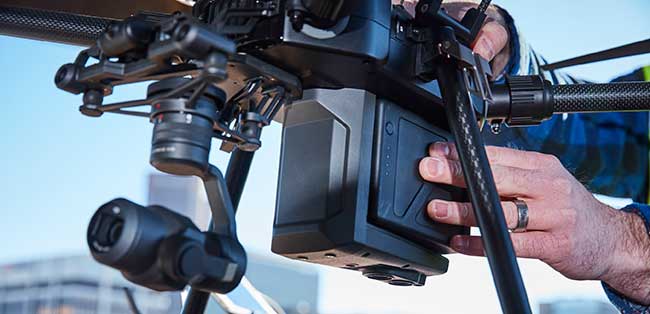
The M200 offers two battery options – a standard 4280 mAh version (TB50) and a more powerful version with a 7660 mAh capacity (TB55) that increases max flight times to 38 minutes.
The M200 offers two battery options – a standard 4280 mAh version (TB50) and a more powerful version with a 7660 mAh capacity (TB55) that increases max flight times to 38 minutes.
You can view a detailed flight time chart here: www.dji.com/matrice-200-series/payloads
Use Cases
The M200 series is designed for professionals using drones for more precise, efficient and safe aerial data collection. Examples of industry applications include:
Use Cases
The M200 series is designed for professionals using drones for more precise, efficient and safe aerial data collection. Examples of industry applications include:
- Critical Infrastructure Inspections – work near power lines, telecommunications towers and bridges puts inspectors at risk of falls and electric shock. DJI’s M200 improves safety as work can be done from a distance. Extensive power line networks can be visualized with unparalleled detail and vertical infrastructure can be inspected from all angles with the stable and weather-resistant M200 platform.
- Energy Facility Inspections – maintenance planning can be costly to ensure high public safety standards. The M200 can identify millimeter-sized faults in buildings, roads and bridges in real time, making those operations more efficient and effective.
- Construction Site Mapping – surveying and mapping often need to be conducted regardless of weather conditions and other external factors. The M200 is a rugged platform designed to handle tough conditions. The M200 gives construction site managers an efficient tool to review progress and workflow, ensuring more efficient use of resources.
- Public Safety – when time is of essence and weather conditions turn foul, first responders require a versatile and reliable aerial platform. Carrying visual and/or thermal sensors, the M200 provides situational awareness of potentially dangerous situations such as fires, searches and natural disasters. Incident commanders can use data collected by the M200 to make smarter and better decisions, protecting life and property while minimizing the safety risk to rescue personnel.
More information about the M200’s applications can be found at www.dji.com/matrice-200-series/applications . This page will be updated as case studies are created.
